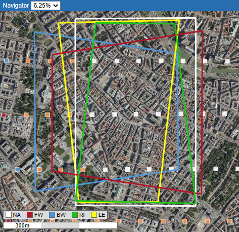
Measuree automatically identifies all images that contain the object you are looking for and displays them well arranged and in order of relevance or naming.
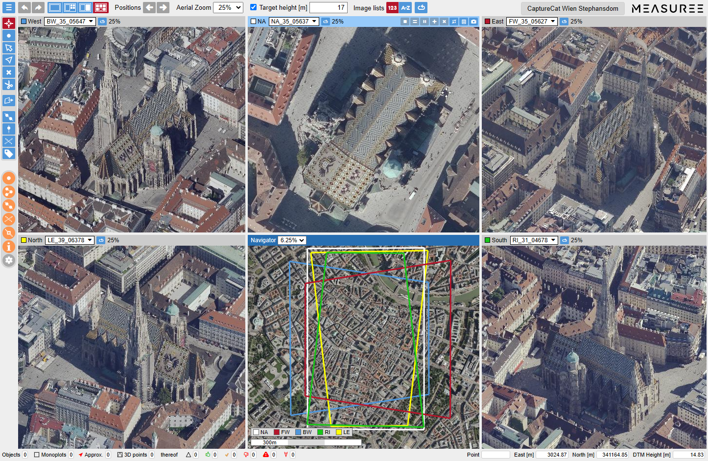
Measuree is a web application for working with aerial images and, thanks to its extensive features and intuitive user interface, the ideal tool for surveyors and other users.
Measuree automatically identifies all images that contain the object you are looking for and displays them well arranged and in order of relevance or naming.

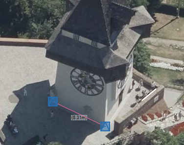
In an intuitive way, Measuree offers you high-precision measurements in aerial images, regardless of whether they were taken with high-end multiperspective systems or simpler drone cameras.
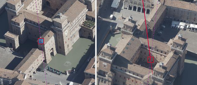
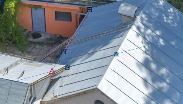
It is straightforward: Mark the desired object in two images and you will receive valid and precise 3D coordinates.
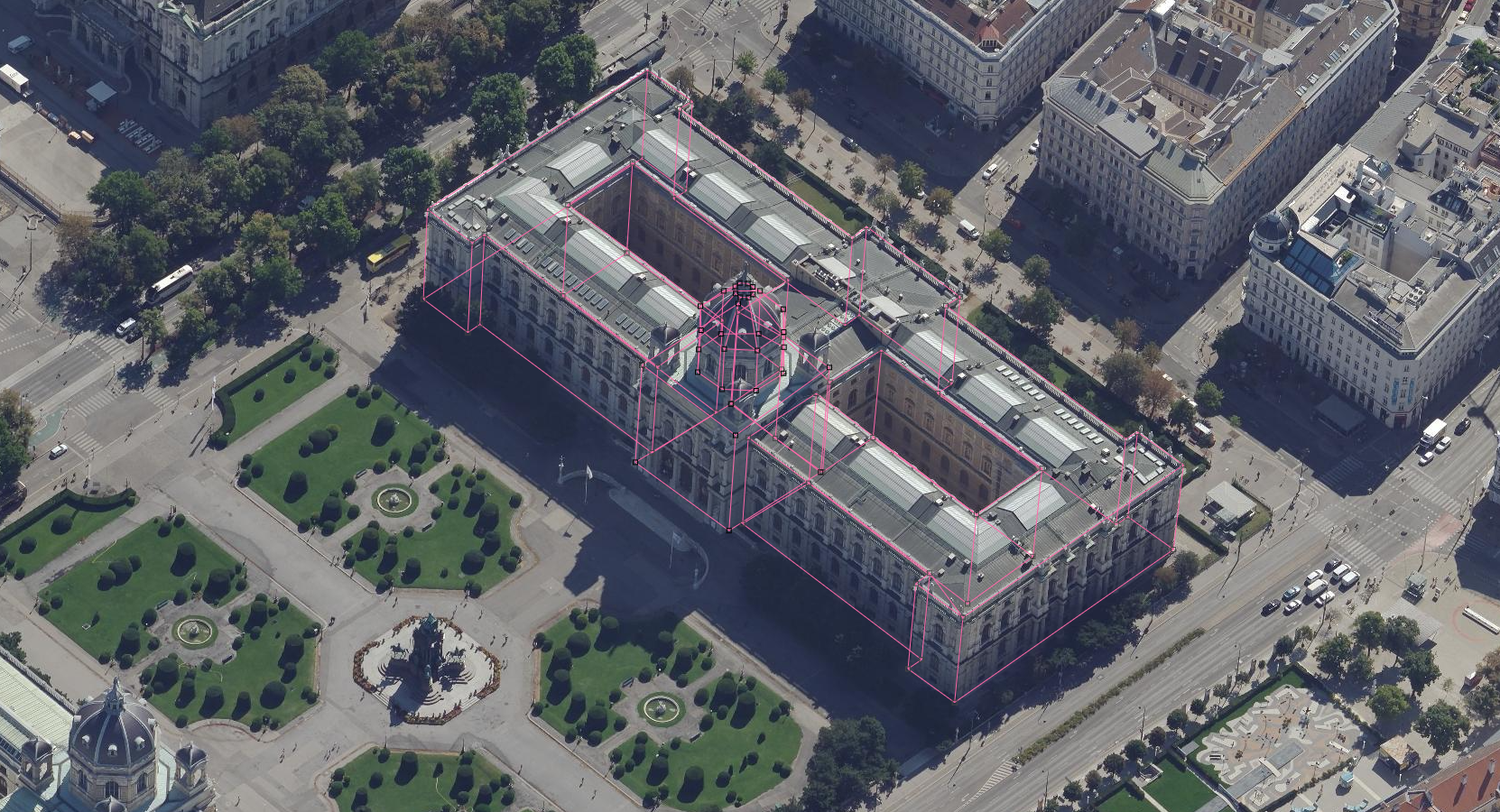
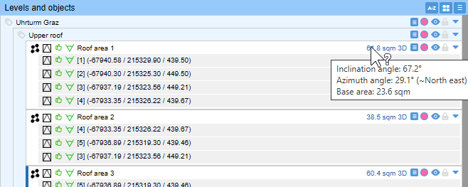
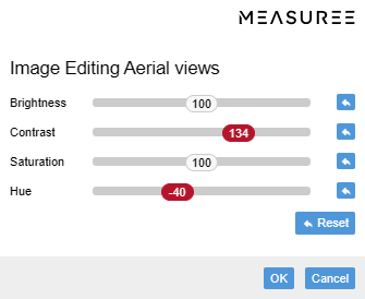
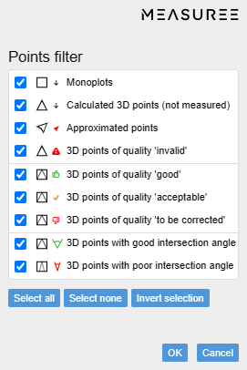
With Measuree, you can always keep track of your measurement data thanks to clear presentation, intelligent image filters and a hierarchical object model.
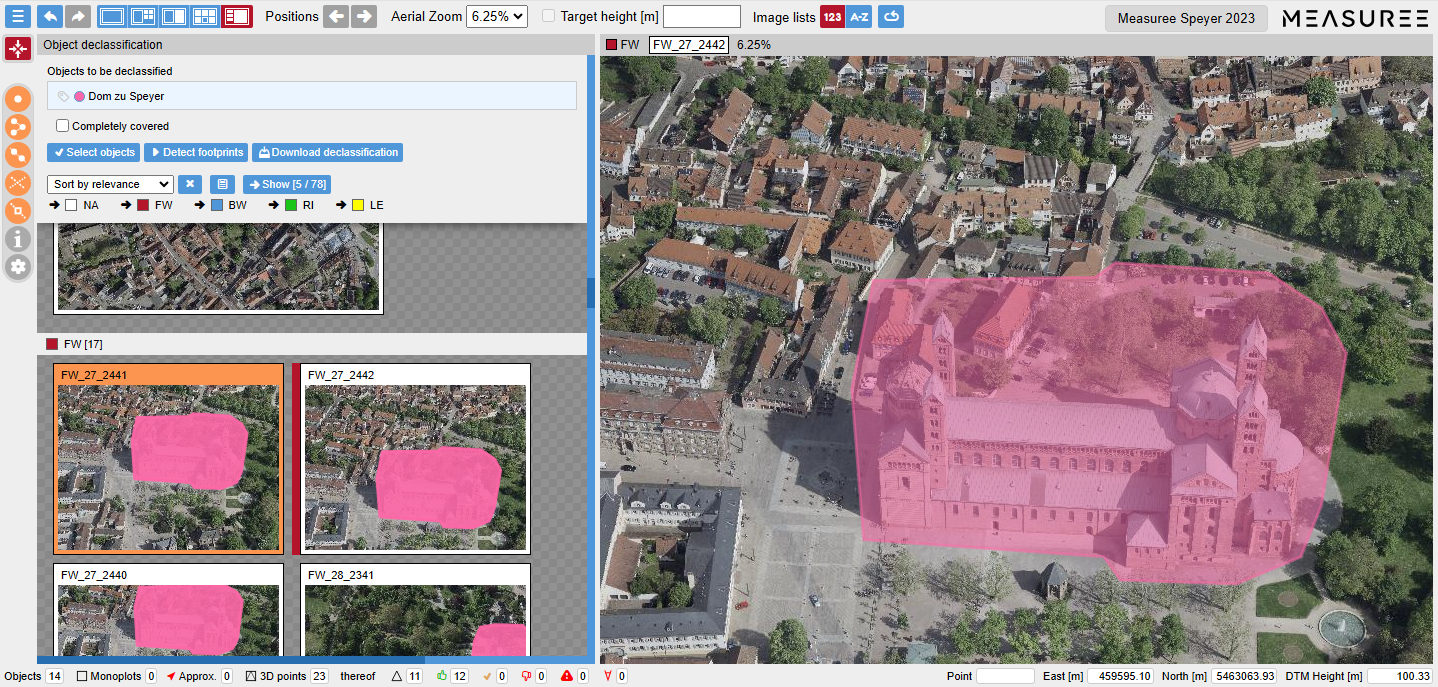
Object footprints and preview of a selected image (Speyer Cathedral)
Sometimes aerial images contain sensitive objects that must not be accessible to the public (e.g. military facilities, power plants). Automated localization of such objects is a major challenge, especially in oblique images.
Measuree offers a tailored solution here: